
YOUR LOCAL FIELD GUIDE
Enduring Farmlands Scenic Byway
Georgia DOT's 65-mile byway loops through Hawkinsville, Pineview, Rochelle and Abbeville, connecting pecan groves, livestock pastures, historic towns, the Ocmulgee River and working-farm scenery. Abbeville makes a practical Wilcox County anchor for following the official map.
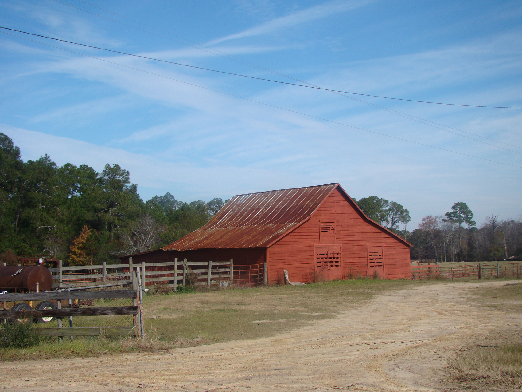
Working-farm scenery along the Enduring Farmlands Scenic Byway. · Georgia Department of Transportation; photographer not identified · Credits & licenses
Photo sources & dates (1)
- Farm landscape on the Enduring Farmlands Scenic Byway
Georgia Department of Transportation; photographer not identified · Photograph date not supplied
View source page · Original imageOfficial Georgia DOT byway photograph; photographer, precise location and capture date are not published.
Source links identify the published photographs. Copyright remains with the credited rightsholders; see photo credits and rights information.
What to expect
Georgia DOT's 65-mile byway loops through Hawkinsville, Pineview, Rochelle and Abbeville, connecting pecan groves, livestock pastures, historic towns, the Ocmulgee River and working-farm scenery. Abbeville makes a practical Wilcox County anchor for following the official map.
Abbeville · Free public-road drive; optional stops cost extra · 2–4 hours
Enduring Farmlands Scenic Byway · Abbeville, GA 31001
Drive in daylight; individual stops set their own hours
This is a 65-mile public-road route rather than a staffed attraction. Use the current Georgia DOT map and check road conditions before leaving.
- 65-mile state scenic byway
- Working farms and rural landscapes
- Abbeville, Rochelle, Pineview and Hawkinsville
Before you go 
- Stay on public roads and do not enter private farms or driveways for photographs.
- Road work, weather and farm traffic can affect the route. Obey posted signs and use the official map.
- Museums, markets and historic buildings named in route material have separate access, hours and prices.
Sources & visitor information
Venue and visitor-bureau information checked on the dates below. Follow these links for current hours, admission and access.
- Georgia DOT — Scenic Byways ↗
Current 65-mile route description, towns, landscapes, official image and points of interest.
Checked - Georgia DOT — official route map ↗
Downloadable driving route through Pulaski and Wilcox counties.
Checked - Georgia DOT — corridor management plan ↗
Background and route context; current road conditions must be checked separately.
Checked - City of Abbeville ↗
Current city context, courthouse, farmers market and Ocmulgee River setting.
Checked
Visitor review notes
Selected visitor experiences, paraphrased from the linked reviews. These describe individual visits; check venue sources for current conditions.
Route map and traveler reports ↗
Follow the review links for visitor feedback; no dated review excerpt has been verified for this listing.
Check the organizer’s latest details before leaving; schedules and availability can change.
Explore Abbeville