YOUR LOCAL FIELD GUIDE
Bullard Creek WMA — Montgomery County Tract
A remote public-land tract in the Altamaha corridor for wildlife viewing, fishing, canoe access and regulated hunting. This listing covers the Montgomery County section rather than the main WMA facilities near Hazlehurst.
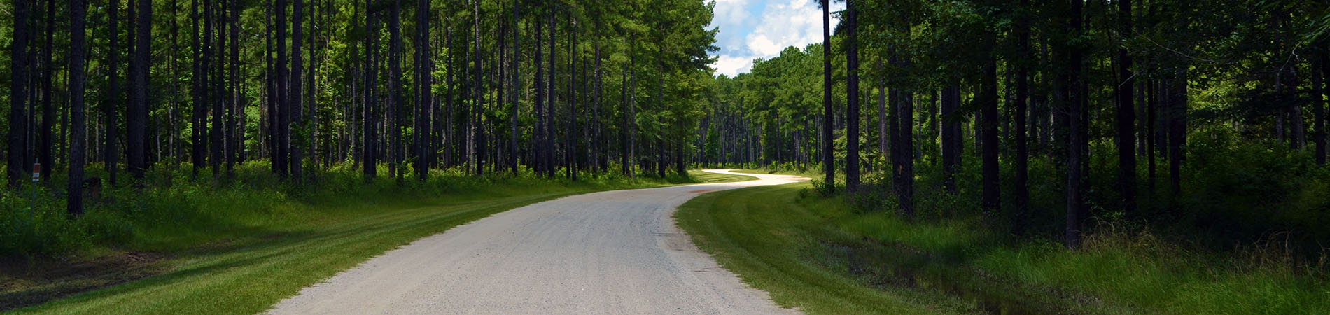
A forest road in Bullard Creek Wildlife Management Area. · Georgia Department of Natural Resources, Wildlife Resources Division; photographer not identified · Credits & licenses
Photo sources & dates (1)
- Bullard Creek WMA forest road
Georgia Department of Natural Resources, Wildlife Resources Division; photographer not identified · Photograph date not supplied
View source page · Original imageOfficial DNR WMA photograph; exact tract, photographer and capture date are not published.
Source links identify the published photographs. Copyright remains with the credited rightsholders; see photo credits and rights information.
What to expect
A remote public-land tract in the Altamaha corridor for wildlife viewing, fishing, canoe access and regulated hunting. This listing covers the Montgomery County section rather than the main WMA facilities near Hazlehurst.
Mount Vernon · Qualifying license or Lands Pass required; activity licenses and reservations are separate · 2–4 hours
Bullard Creek Wildlife Management Area — Montgomery County tract · East of GA 221, north of the Altamaha River, Montgomery County, GA
Daylight visit; check current regulations, managed hunts and access alerts
Access and legal activities change with seasons and managed hunts. The Montgomery County tract is limited to foot or boat travel.
- Altamaha River wildlife habitat
- Foot- or boat-access public land
- Fishing, paddling and regulated hunting
Before you go 
- A qualifying license or Lands Pass is required; fishing and hunting also require the licenses and rules for those activities.
- The Montgomery tract is foot- or boat-access only. Do not assume the WMA-wide ranges, campsites, shelters or vehicle access are located on this tract.
- This is active hunting land. Check managed-hunt dates, current regulations and geocaching restrictions, and wear high-visibility clothing.
- The general map pin is not a verified entrance for this tract. Follow DNR directions and kiosk information, then check river, weather and closure alerts.
Sources & visitor information
Venue and visitor-bureau information checked on the dates below. Follow these links for current hours, admission and access.
- Georgia DNR — Bullard Creek WMA ↗
Montgomery tract directions, foot/boat restriction, activities and WMA-wide facility context.
Checked - Georgia DNR — land access ↗
Region, agency and qualifying-license or Lands Pass requirement.
Checked - Georgia DNR — closures and alerts ↗
Current statewide access alerts; visitors should recheck immediately before traveling.
Checked - Georgia DNR — 2026–27 regulations ↗
Current regulation-guide notice and links.
Checked
Visitor review notes
Selected visitor experiences, paraphrased from the linked reviews. These describe individual visits; check venue sources for current conditions.
Follow the review links for visitor feedback; no dated review excerpt has been verified for this listing.
Check the organizer’s latest details before leaving; schedules and availability can change.
Explore Mount Vernon